File:France CanetRoussillon.png
From CruisersWiki
No higher resolution available.
France_CanetRoussillon.png (749 × 599 pixels, file size: 378 KB, MIME type: image/png)
Summary
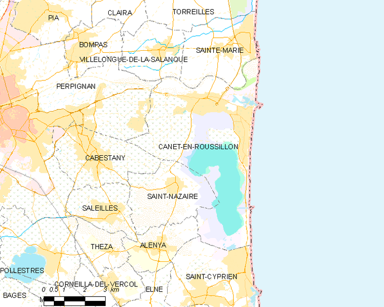
Map of Canet-en-Roussillon and its surrounding communes
File 749px-Map_commune_FR_insee_code_66037.png from Wikimedia Commons by OpenStreetMap contributors.
Licensing
- Creative Commons license: **cc-by-sa-1.0 Creative Commons license: **cc-by-sa-1.0
File history
Click on a date/time to view the file as it appeared at that time.
| Date/Time | Thumbnail | Dimensions | User | Comment | |
|---|---|---|---|---|---|
| current | 18:20, 22 January 2016 | | 749×599 (378 KB) | Istioploos (Talk | contribs) | (Map of Canet-en-Roussillon and its surrounding communes File [http://en.wikipedia.org/wiki/File:Map_commune_FR_insee_code_66037.png 749px-Map_commune_FR_insee_code_66037.png] from [http://commons.wikimedia.org/wiki/Main_Page Wikimedia Commons] by [http:) |
- Edit this file using an external application (See the setup instructions for more information)
File links
The following page links to this file: