File:Persian Gulf map.png
From CruisersWiki
Revision as of 16:23, 17 December 2008 by Lighthouse (Talk | contribs)
No higher resolution available.
Persian_Gulf_map.png (600 × 359 pixels, file size: 289 KB, MIME type: image/png)
Summary
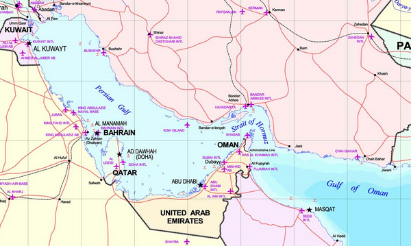
Persian Gulf map.
Copyright status:
Commons
Source:
File history
Click on a date/time to view the file as it appeared at that time.
| Date/Time | Thumbnail | Dimensions | User | Comment | |
|---|---|---|---|---|---|
| current | 16:23, 17 December 2008 | | 600×359 (289 KB) | Lighthouse (Talk | contribs) | (Persian Gulf map.) |
- Edit this file using an external application (See the setup instructions for more information)
File links
There are no pages that link to this file.