Dardanelles/imagemap
From CruisersWiki
(Difference between revisions)
Istioploos (Talk | contribs) (New) |
Istioploos (Talk | contribs) (Port of entry) |
||
| Line 2: | Line 2: | ||
| lat= 40.208|lon=26.45967 |zoom=10 | | lat= 40.208|lon=26.45967 |zoom=10 | ||
| type=waypoint | | type=waypoint | ||
| - | }}</center> | + | }}{{PEntry there}}</center> |
{| class="wikitable" style="margin: 1em auto 1em auto;" | {| class="wikitable" style="margin: 1em auto 1em auto;" | ||
Latest revision as of 20:08, 26 February 2017
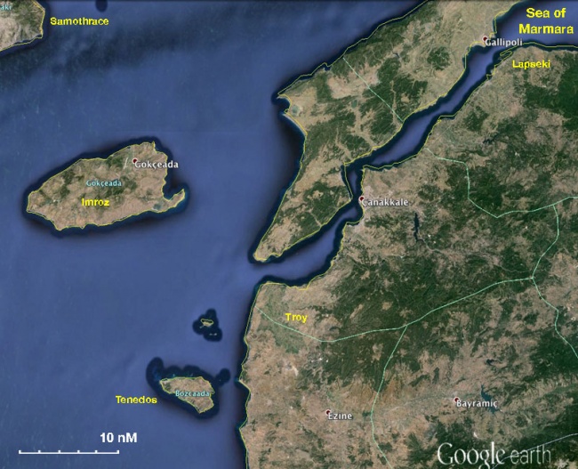  The Dardanelles - For details click on a name or an area |